
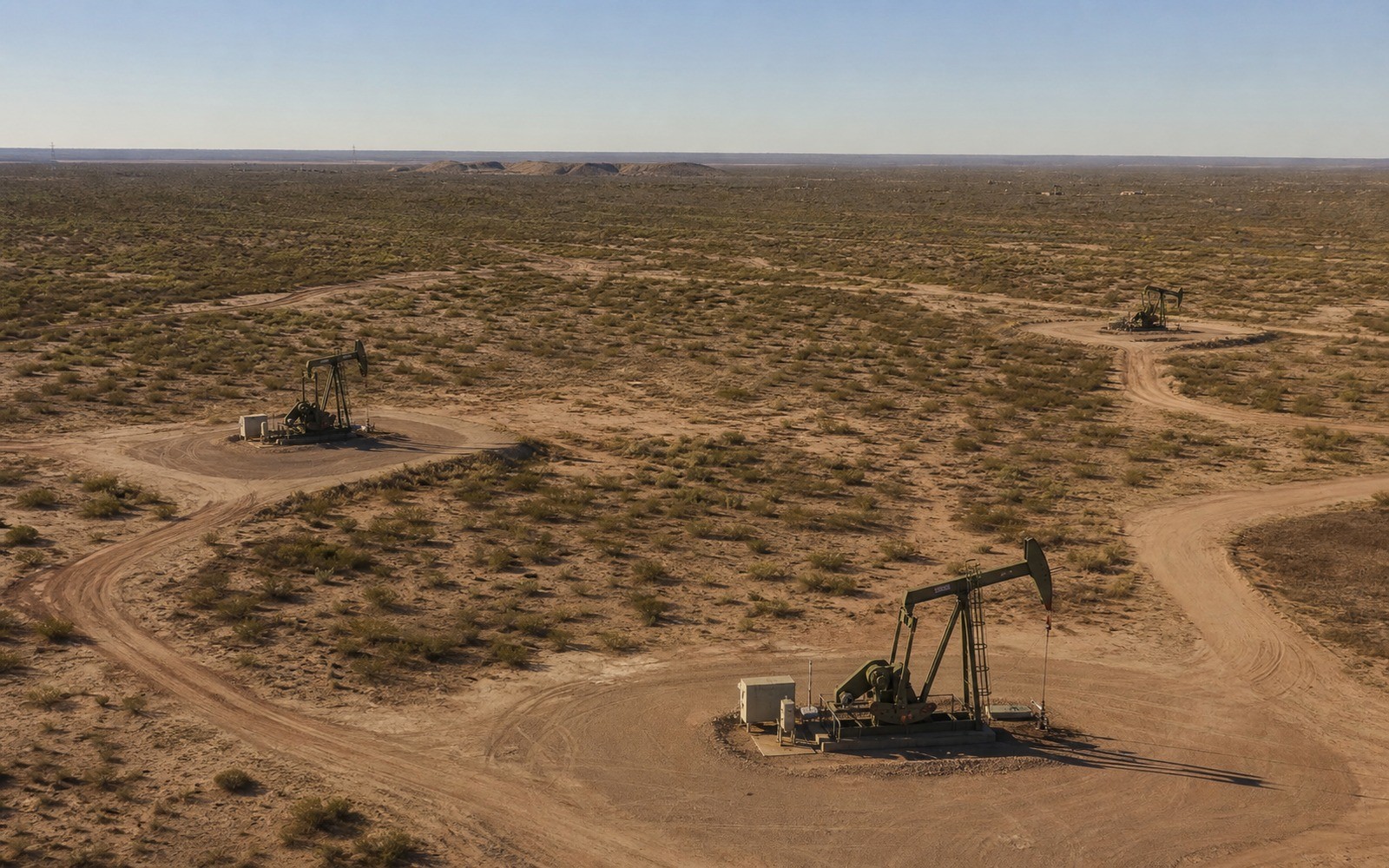
Sell Mineral Rights in Citronelle, AL
Citronelle is the name on Alabama's most significant oil discovery, a field that once ranked as the largest producing onshore field east of the Mississippi River, and mineral ownership here carries more documented history than almost anywhere else in the state.
Discovered in 1955, Citronelle Field tapped the Rodessa and Donovan sands at depths beyond 10,000 feet, kicking off a leasing and drilling rush that touched nearly every tract in and around the town. Decades later, after primary production declined, the field saw a second life through CO2 enhanced oil recovery, injecting carbon dioxide to push additional oil toward existing wellbores. Owners here are more likely than in almost any other Alabama town to have an actual royalty history, though the character of that history varies enormously from one tract to the next depending on where it sits relative to the field's productive core.
Two generations of production
Citronelle's original primary production phase ran for decades before naturally declining, and the field was later redeveloped for CO2 flooding, a process that reworks existing reservoirs rather than requiring new discovery. That means some tracts here have two distinct royalty histories to review, an original production run and a later secondary or tertiary recovery phase, each with its own decline pattern.
Where your tract sits matters enormously
Because Citronelle Field covers a defined structural area rather than the whole town uniformly, a parcel inside the field's mapped productive limits is valued very differently than one on the surrounding periphery that was leased during the boom years but never actually produced. We check Alabama Oil and Gas Board field records against your specific legal description before quoting.
What we review for a Citronelle interest
For a producing or previously producing tract, we look at the well's production history, whether it's part of an active CO2 flood unit, and how comparable interests within the field have recently traded. For peripheral acreage with lease history but no production, we build a range from comparable bonus and permit activity instead.
Anchor the Tract to the Alabama County Record
A location guide should lead back to a real tract record. The working file identifies the county, legal description, acreage, mineral reservation, estate type, formation and depth limits, owner fraction, and the deed, probate order, trust instrument, or corrective document supporting the ownership claim.
Connect Local Activity to the Actual Interest
Alabama activity varies by county, field, formation, tract, unit, operator, product, and project stage. Public wells and permits add context, while the private deed, lease, unit record, paid decimal, statement history, and title chain define the interest under review.
Keep the County Review in Writing
The owner copy should retain the source deed, lease, unit record, division order, statement evidence, title questions, written offer assumptions, retained-rights language, settlement record, funding confirmation, and county recording reference.