
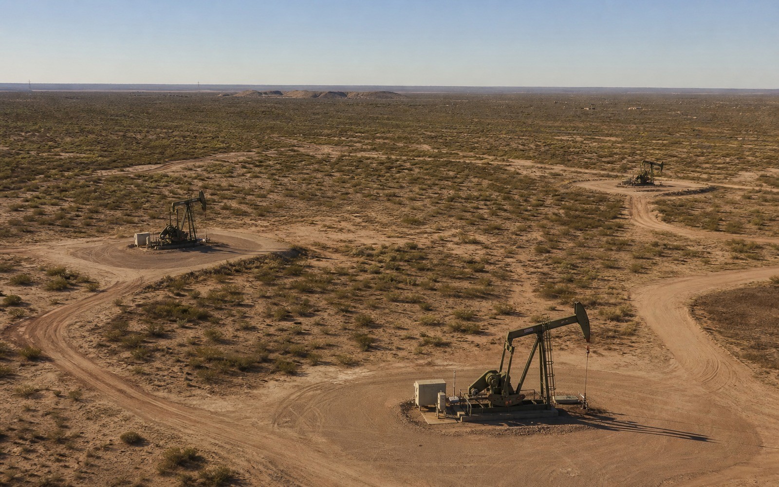
Sell Mineral Rights in Argo, AL
Argo sits in the northeastern corner of Jefferson County, on the outer edge of the Black Warrior Basin's coalbed methane fairway rather than its producing core.
Most of the mineral interests we see out of the Argo area were reserved when this part of Jefferson County was still farmland, well before the coal seams underneath became a coalbed methane target in the 1980s and 90s. Owners here typically hold a small fractional share passed through a family estate, often without any royalty statement history to reference, because Argo sits closer to the flank of the Pottsville coal measures than to the dense well spacing found around Oak Grove or Brookwood.
Argo's position in the Black Warrior CBM play
The Black Warrior Basin's most active coalbed methane development has historically clustered west and southwest of Argo, closer to the Cahaba coal field and the Brookwood-Oak Grove trend in Tuscaloosa County. Argo and the surrounding northeastern Jefferson County communities sit farther from that core, which generally means fewer active wells nearby and a mineral value range that leans more on lease and permit comparables than on an existing royalty stream.
What ownership typically looks like near Argo
A recurring pattern here is a mineral interest reserved decades ago when a family sold surface acreage for farming or later residential development, keeping the coal, oil, and gas rights underneath. Because Jefferson County has grown so much around Argo, the surface may now be a subdivision or small farm while the mineral estate remains with heirs scattered well outside the county.
Confirming your share before an offer
Jefferson County's probate and deed records in Birmingham are the starting point for confirming exactly how much of an Argo-area interest you hold, especially if the mineral estate has passed through more than one generation without a formal partition. We'll help pull that history and quote a range once your fractional share is documented, rather than guessing at ownership from a tax notice alone.
Anchor the Tract to the Alabama County Record
A location guide should lead back to a real tract record. The working file identifies the county, legal description, acreage, mineral reservation, estate type, formation and depth limits, owner fraction, and the deed, probate order, trust instrument, or corrective document supporting the ownership claim.
Connect Local Activity to the Actual Interest
Alabama activity varies by county, field, formation, tract, unit, operator, product, and project stage. Public wells and permits add context, while the private deed, lease, unit record, paid decimal, statement history, and title chain define the interest under review.
Keep the County Review in Writing
The owner copy should retain the source deed, lease, unit record, division order, statement evidence, title questions, written offer assumptions, retained-rights language, settlement record, funding confirmation, and county recording reference.